HO CHI MINH CITY DEVELOPS GREEN SATELLITE URBAN AREAS
LongForm - Ngày đăng : 15:40, 18/03/2026
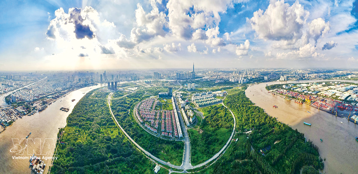
Ho Chi Minh City is planning to develop green satellite urban areas as part of its vision of becoming a multi-centre and multi-functional megacity. With its urban space expanding significantly following the administrative merger, the city aims to establish satellite towns in former suburban districts as well as in areas previously belonging to Binh Duong and Ba Ria – Vung Tau provinces, and along public transport corridors under the transit-oriented development (TOD) model. These satellite areas are expected to help manage the expanded urban space and ease pressure on the city centre.
LongForm
HO CHI MINH CITY DEVELOPS GREEN SATELLITE URBAN AREAS
VNA•{Ngày xuất bản}
Ho Chi Minh City is planning to develop green satellite urban areas as part of its vision of becoming a multi-centre and multi-functional megacity. With its urban space expanding significantly following the administrative merger, the city aims to establish satellite towns in former suburban districts as well as in areas previously belonging to Binh Duong and Ba Ria – Vung Tau provinces, and along public transport corridors under the transit-oriented development (TOD) model. These satellite areas are expected to help manage the expanded urban space and ease pressure on the city centre.
Wards, communes envisioned as green urban areas
A modern Ho Chi Minh City in the hearts of its residents and visitors (Photo: VNA)
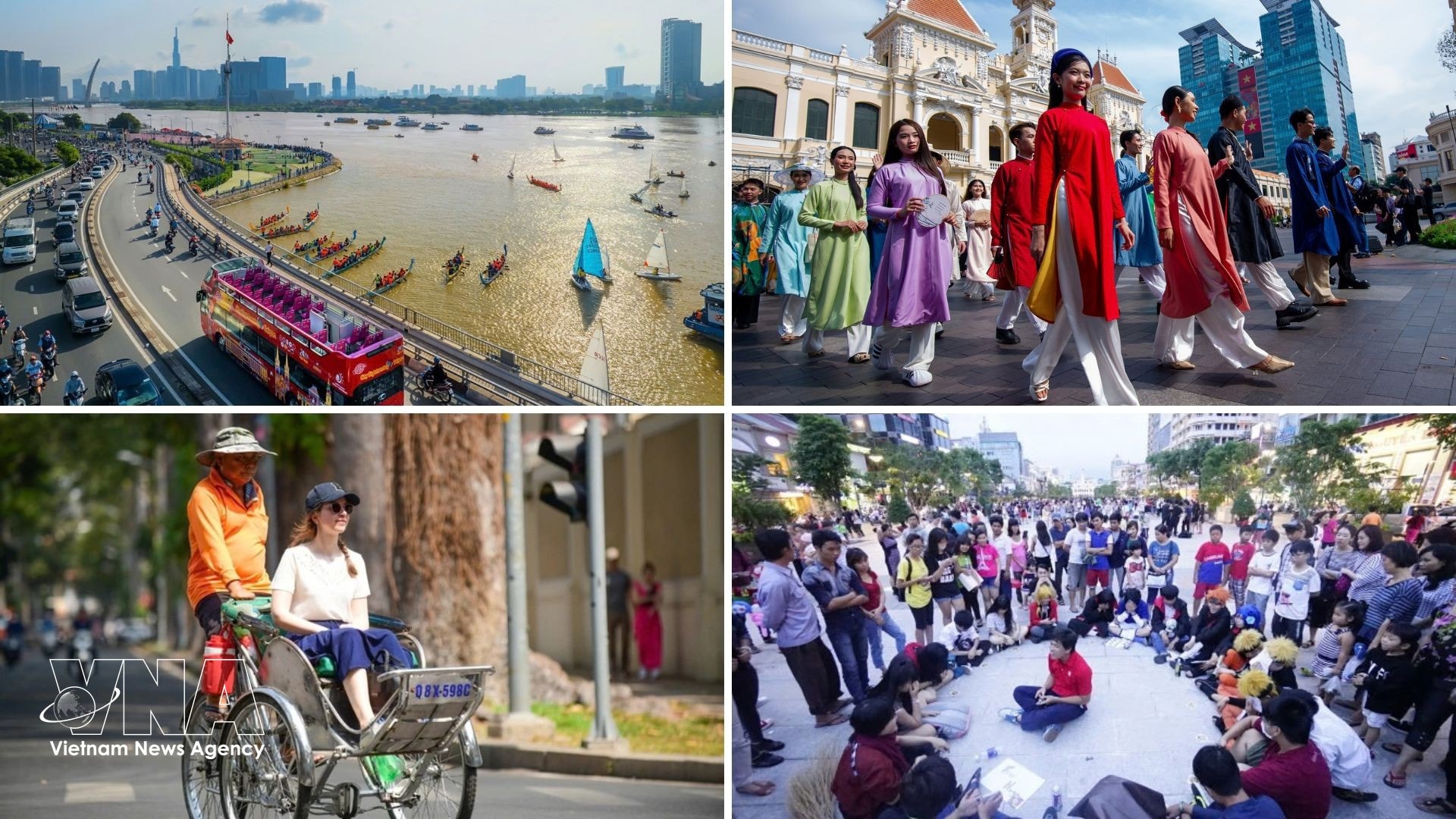
The city is entering a new stage of development in which the urban space has become much larger and development orientations will no longer solely surround major projects, shopping malls, busy streets, or vibrant residential zones in dense inner-city areas but will expand toward suburban and newly merged localities.
“
These areas are located on the outskirts of the southern metropolis or in former Binh Duong and Ba Ria – Vung Tau provinces. Once considered peripheral zones, they now have the potential to become new development centres thanks to their large land reserves and untapped potential, and are expected to become fresh highlights contributing to a green and sustainable urban landscape of Ho Chi Minh City.
Master of public policy Nguyen Tuan Anh from the Saigon Industry Corporation
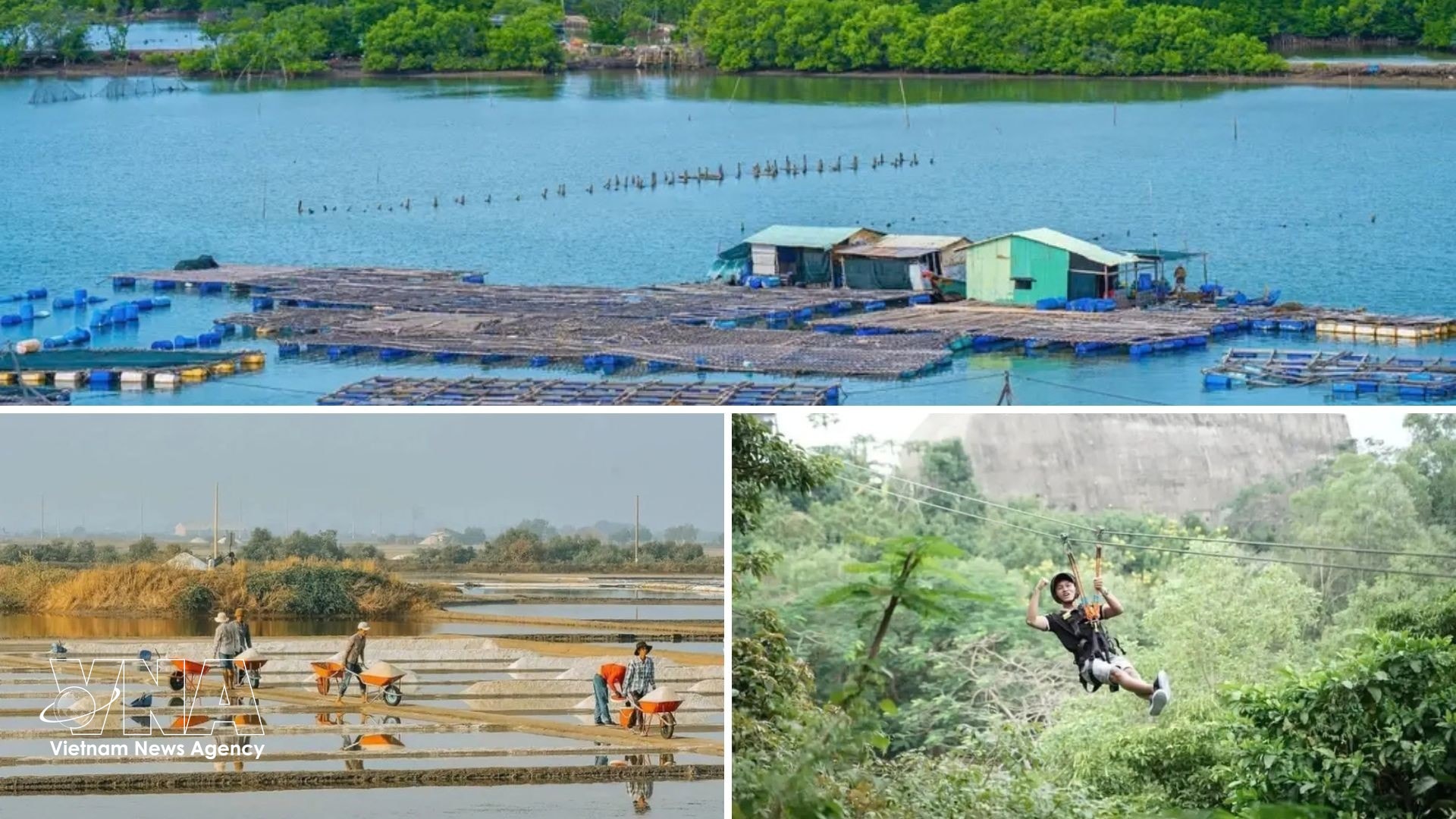
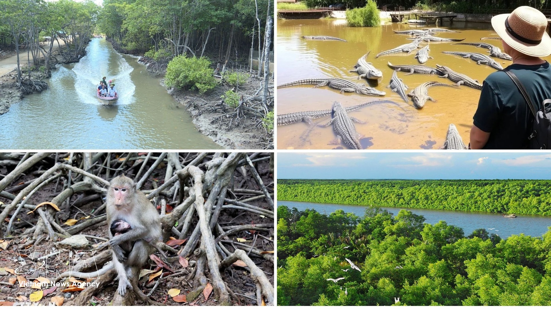
Many of the 168 wards, communes and special zones in the city, including Can Gio, Cu Chi, Xuyen Moc, Con Dao, Long Son and Thuan An, still retain distinctive natural ecosystems such as mangrove forests, primary forests, islands, islets, rivers, and orchard landscapes. Experts said these provide favourable conditions for developing smart and ecological satellite cities as well as green hubs for agriculture, tourism, logistics and transport.
Meanwhile, the resolutions of the Party congresses for the 2025–2030 term in many wards and communes have also set the goal of building green and smart urban areas.
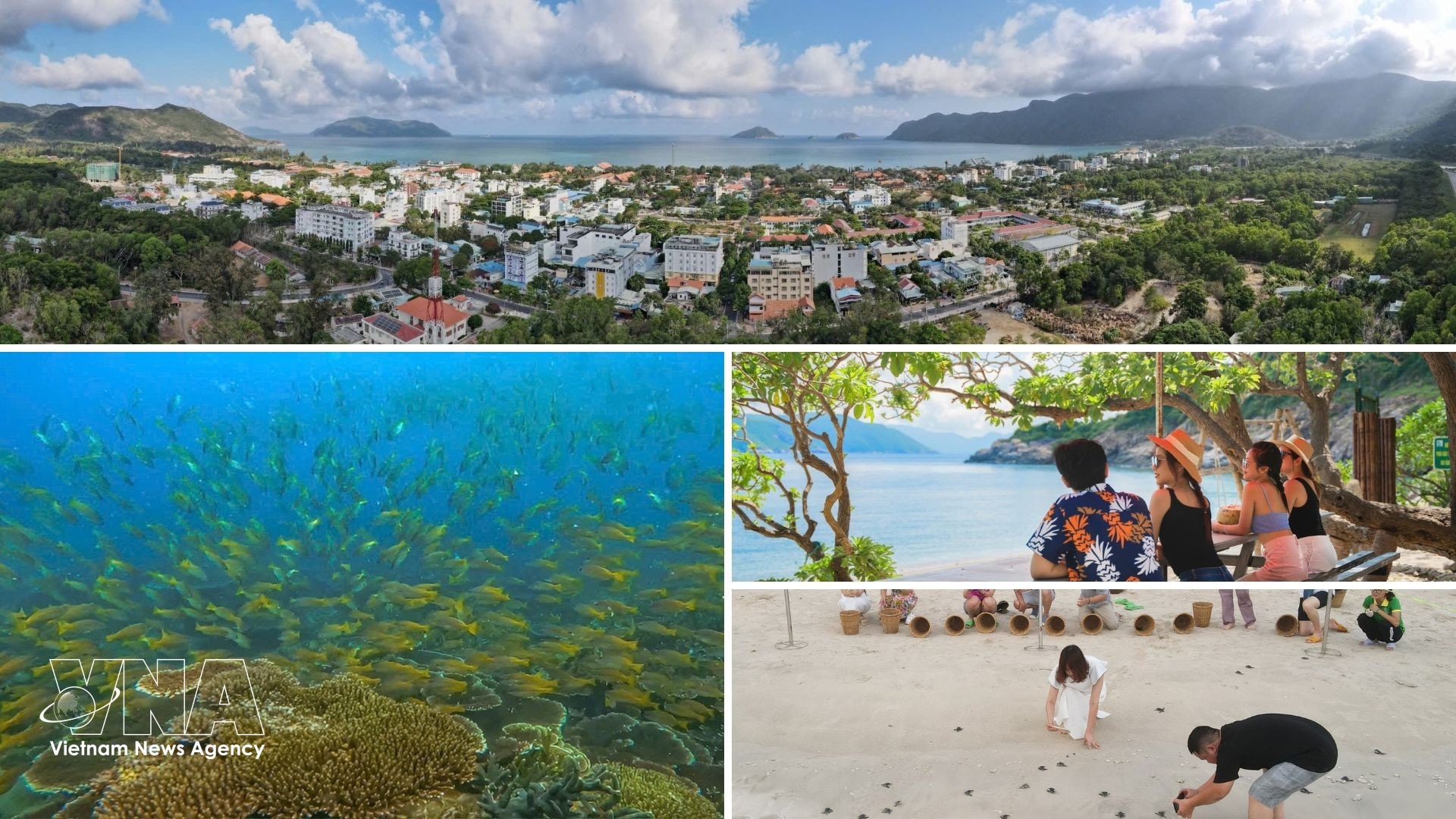
The Cu Chi Tunnels historical relic site attracts a large number of visitors, from local residents to domestic and international tourists. (Photo: VNA)Con Dao boasts stunning beaches, a diverse ecosystem, and rich cultural and historical values, making it an ideal destination for nature exploration, eco-experiences and leisure tourism. (Photo: VNA)Leaving behind the hustle and bustle of urban life, visitors can head to Long Son Island and immerse themselves in the tranquil rhythms of a traditional fishing village. (Photo: VNA)
Can Gio commune, for example, covers about 157 square kilometres with a population of more than 27,000. Located at the city’s coastal gateway, it possesses large land serves and a unique mangrove ecosystem recognised by UNESCO. The locality, boasting ideal conditions of a modern coastal city and an international transshipment port, aims to transform itself into a sustainable ecological urban area meeting transport infrastructure, housing, environmental and clean energy standards, developing the marine economy, while prioritising forest protection as well as the conservation of the marine environment, cultural and historical values.
Can Gio – the mega city's "gateway" to the ocean – is closely linked with the priorities of protecting the mangrove forest – the city’s “green lung”, safeguarding the marine environment, and preserving cultural and historical values. (Photo: VNA)
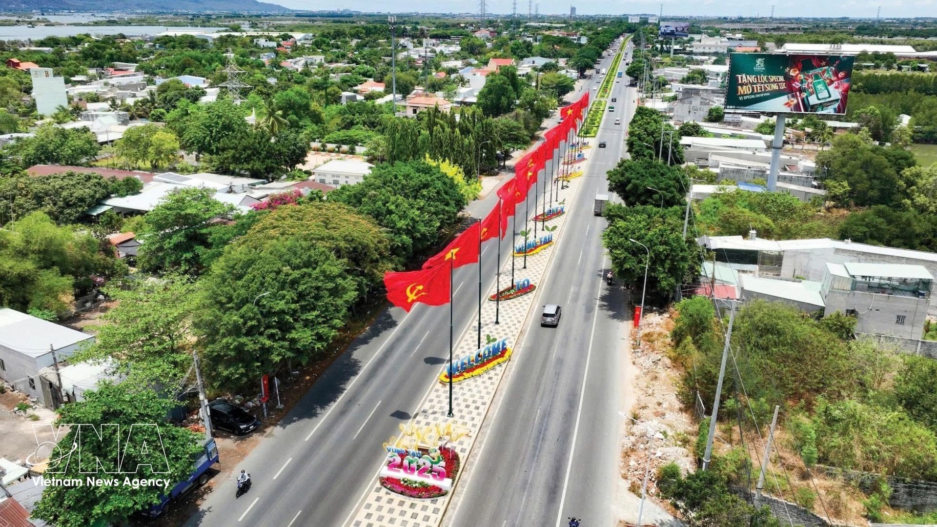
Meanwhile, Phuoc Thang ward, formed from the merger of wards in former Vung Tau city, has a total area of 47.34 square kilometres and is home to nearly 74,000 people. It seeks to maintain fast and sustainable growth; capitalise on local potential and advantages in industry, trade, services, and agro-forestry-fisheries; develop modern, and environmentally friendly urban infrastructure; safeguard social security; and firmly ensure national defence – security safeguarding.
Phuoc Thang ward aims to maintain fast and sustainable growth. (Photo: VNA)
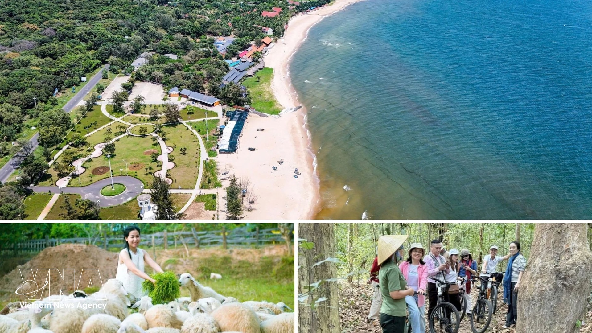
With advantages in forest and coastal resources of former Xuyen Moc district, the new Ho Tram commune (covering over 94 square kilometres and home to nearly 52,000 people) and Xuyen Moc commune (covering 102.96 square kilometres and home to about 27,000 people) are emerging as magnets for large-scale investments in tourism, resorts and high-tech agriculture.
While Xuyen Moc is focusing on building a "village within the city, city within the village" model that follows the ecological and multi-centre urban development orientation of Ho Chi Minh City, Ho Tram is taking shape as a green coastal urban area of national and international stature, as well as a high-quality service – tourism hub that may turn into a new growth powerhouse.
Xuyen Moc commune focuses on developing a “village within the city, city within the village” model in line with Ho Chi Minh City’s ecological and multi-centre urban development orientation. (Photo: VNA)
Anh said wards, communes, and special zones of Ho Chi Minh City are seeking to develop into green satellite cities with diverse natural and socio-economic conditions, ranging from industrial zones and logistics centres to seaports, eco-tourism destinations, and urban agricultural areas.
This shows that a rigid model cannot be applied to all. Each ward and commune needs to have its specific role and function clearly defined, but all should aim towards a common development standard: greener, smarter, and more humane, the expert went on.
A major shift
Alongside ecological satellite towns, the city is also promoting urban development around public transport corridors under the TOD model. The approach, which aims at creating momentum for economic development and sustainable urban development, is gradually being adopted since Ho Chi Minh City implemented the National Assembly's Resolution 98, issued in 2023, on piloting some specific mechanisms and policies for development, and Resolution 188 (2025) on piloting some specific and special mechanisms and policies for the development of the urban railway network.
Dr Vu Anh Tuan, Director of the Transportation Research Centre at the Vietnamese-German University, said TOD is not only a model for urban development with high-capacity and fast public transport, especially metro lines, but also a strategy for mobilising capital. Furthermore, it serves as a platform for integrating various planning schemes, from land use, construction and transport planning to environmental planning, etc. In this new trend, TOD also integrates planning for digital transformation, green transition, and smart city building.
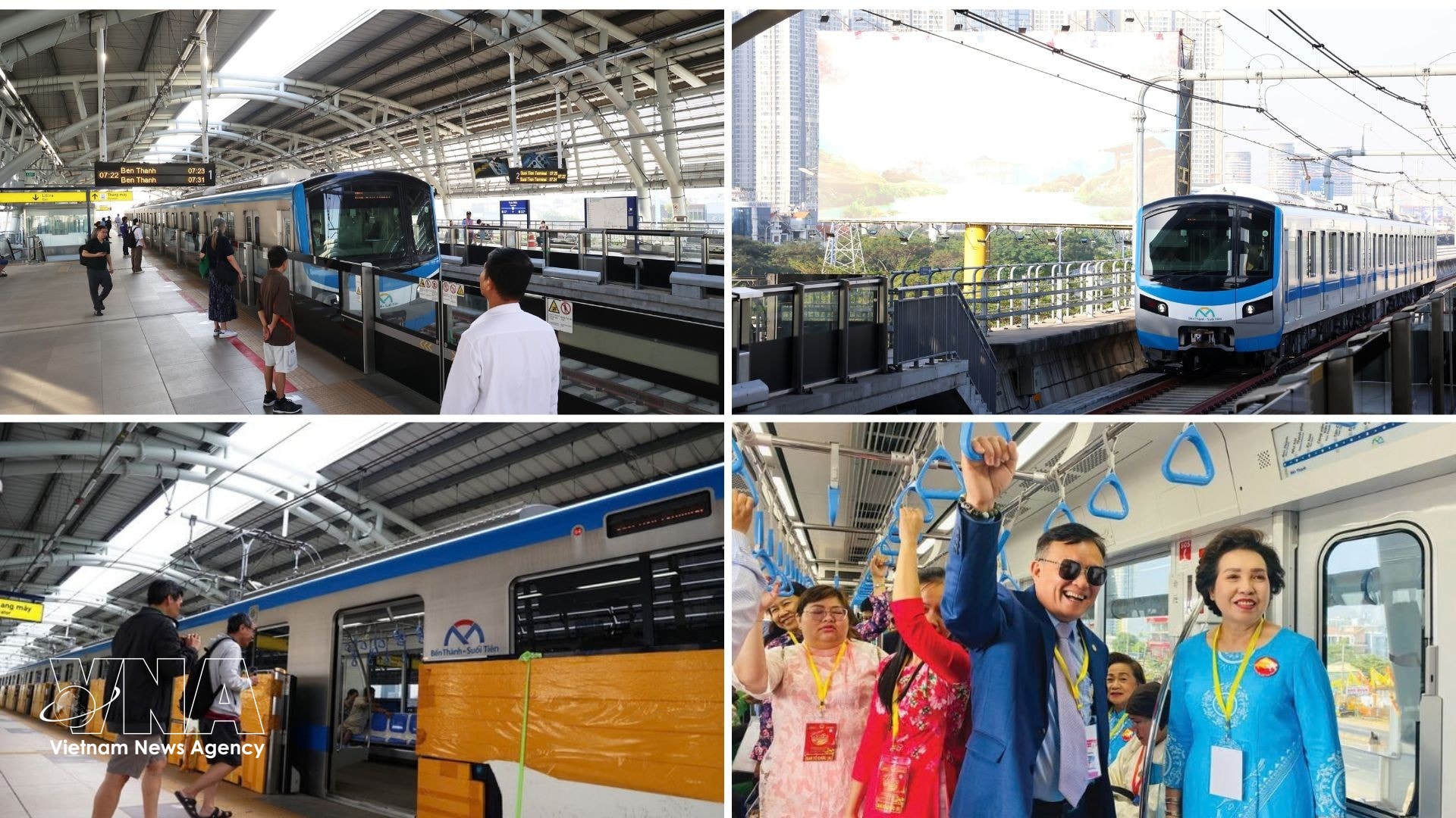
Residents experience Metro Line No. 1 (Ben Thanh – Suoi Tien). (Photo: VNA)
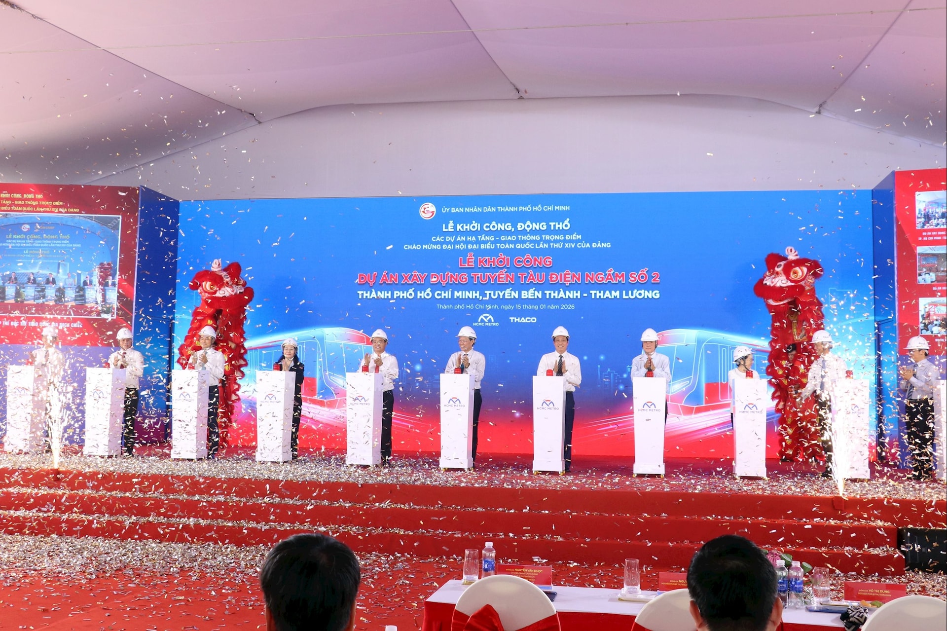
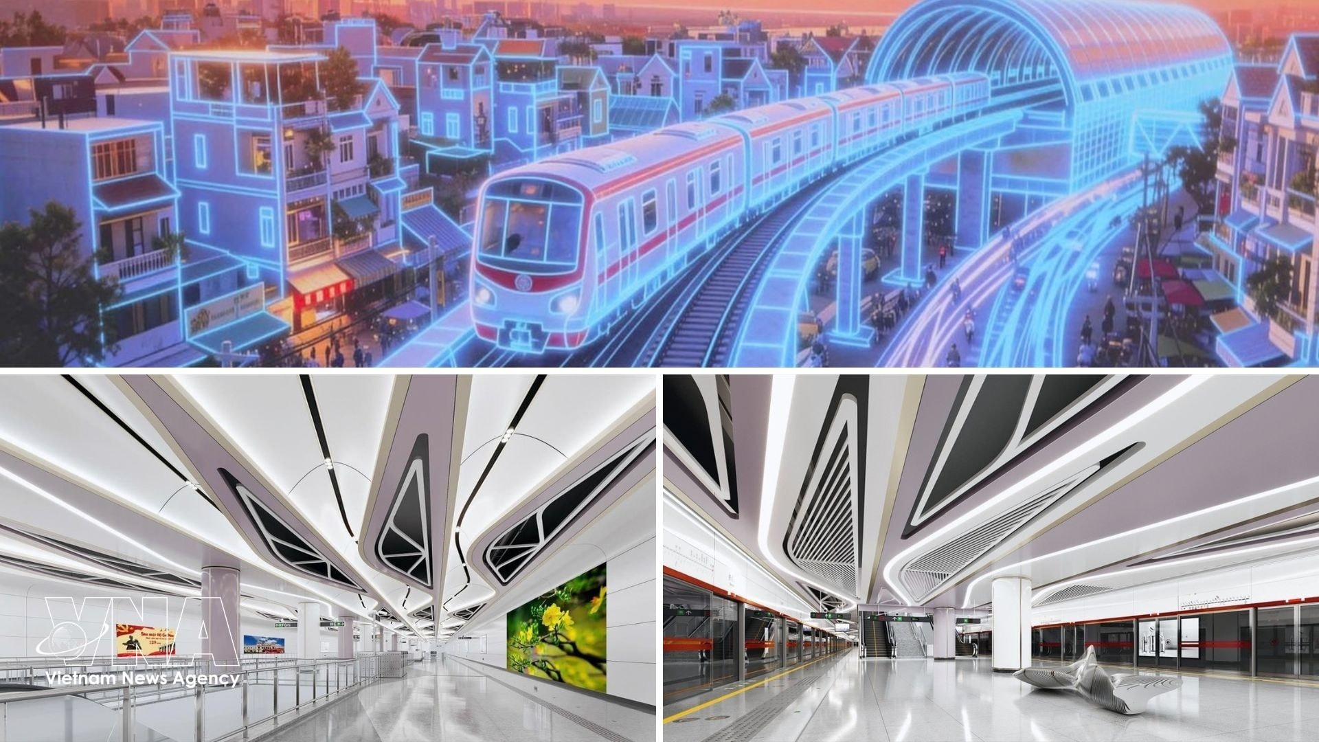
According to the municipal Department of Planning and Architecture, Ho Chi Minh City plans to develop 11 high-density TOD zones along metro routes, covering nearly 7,400 hectares. In December 2025, the city issued a plan to implement TOD areas along Metro Line No. 2 (Ben Thanh – Tham Luong), including 12 development sites around metro stations and the Tham Luong depot.
Ho Chi Minh City breaks ground on Metro Line No. 2 (Ben Thanh – Tham Luong) on January 15, 2026. (Photo: VNA)Metro Line No. 2 (Ben Thanh – Tham Luong) has a total investment of 47.89 trillion VND. The line stretches more than 11 km, including 9.1 km underground and over 1.9 km elevated and transitional sections, with 10 stations in total (nine underground and one elevated). (Photo: VNA)
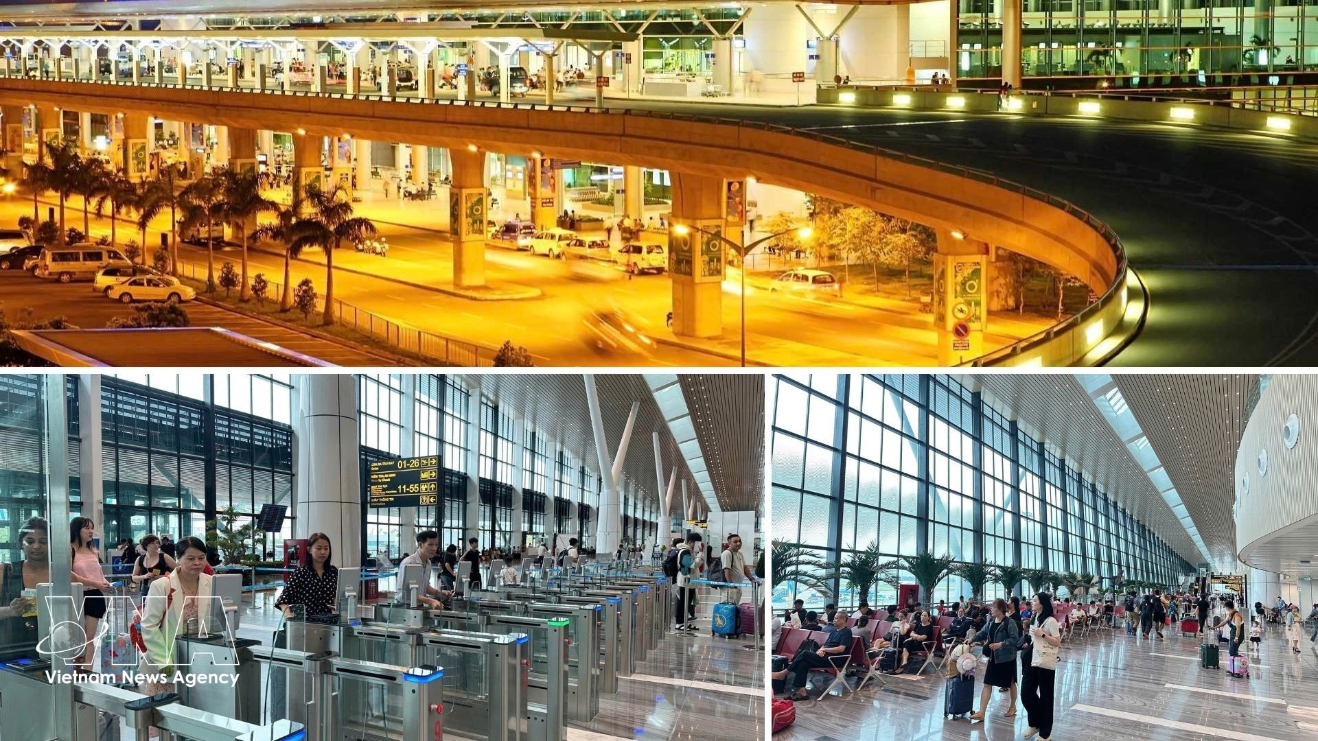
Tan Son Nhat ward is currently taking the lead in following the TOD model. Aside from the breakthrough task of building a green urban area, planning ward development, and enhancing urban management in conjunction with forming the Tan Son Nhat airport city model, the ward will also implement TOD projects along Metro Lines No. 2 and 5, linked with the development of commercial and service centres, multi-functional cultural and sports centres, and underground parking zones connecting the metro lines.
Tan Son Nhat ward has set the tasks of building a green urban area, planning ward development, and enhancing urban management in conjunction with forming the Tan Son Nhat airport city model. (Photo: VNA)
With its expanded administrative boundaries, Ho Chi Minh City possesses vast development space, numerous urban centres and new growth poles, along with multiple transport infrastructure facilities – metro lines, expressways, ring roads, railways, and roads to international airports, all of which will play a pivotal role in the development under the TOD model.
Architect Ngo Viet Nam Son, a planning expert noted that TOD has been successfully applied in many developed countries and could be a suitable strategy for Ho Chi Minh City and others nationwide, helping restructuring urban space while making better use of development resources.
“
Following the administrative merger, Ho Chi Minh City now also benefits from key infrastructure hubs such as the Cai Mep – Thi Vai deep-water port in former Ba Ria – Vung Tau province and Song Than railway station in former Binh Duong province, creating opportunities to develop industrial and high-tech urban zones in the north and port and coastal tourism cities in the south and southeast.
Architect Ngo Viet Nam Son
Under the TOD model, dense mixed-use urban areas in Ho Chi Minh City will be developed within a radius of about 1,000 metres from metro stations, concentrating residential, commercial and office activities around transport hubs. This approach aims to improve land-use efficiency, reduce private vehicle use, lower emissions and enhance the overall quality of urban life while preserving local cultural values./.
Ho Chi Minh City is set to develop into a multi-centre and multi-functional mega city. (Photo: VNA)