RED RIVER TO BECOME HANOI’S KEY ECOLOGICAL AND CULTURAL LANDSCAPE AXIS
LongForm - Ngày đăng : 17:19, 08/10/2026
From a river serving flood prevention and forming a natural boundary between urban areas, the Red River is being repositioned by Hanoi as a strategic axis in the capital’s master plan with a 100-year vision.
LongForm
RED RIVER TO BECOME HANOI’S KEY ECOLOGICAL AND CULTURAL LANDSCAPE AXIS
VNA•{Ngày xuất bản}
From a river serving flood prevention and forming a natural boundary between urban areas, the Red River is being repositioned by Hanoi as a strategic axis in the capital’s master plan with a 100-year vision.
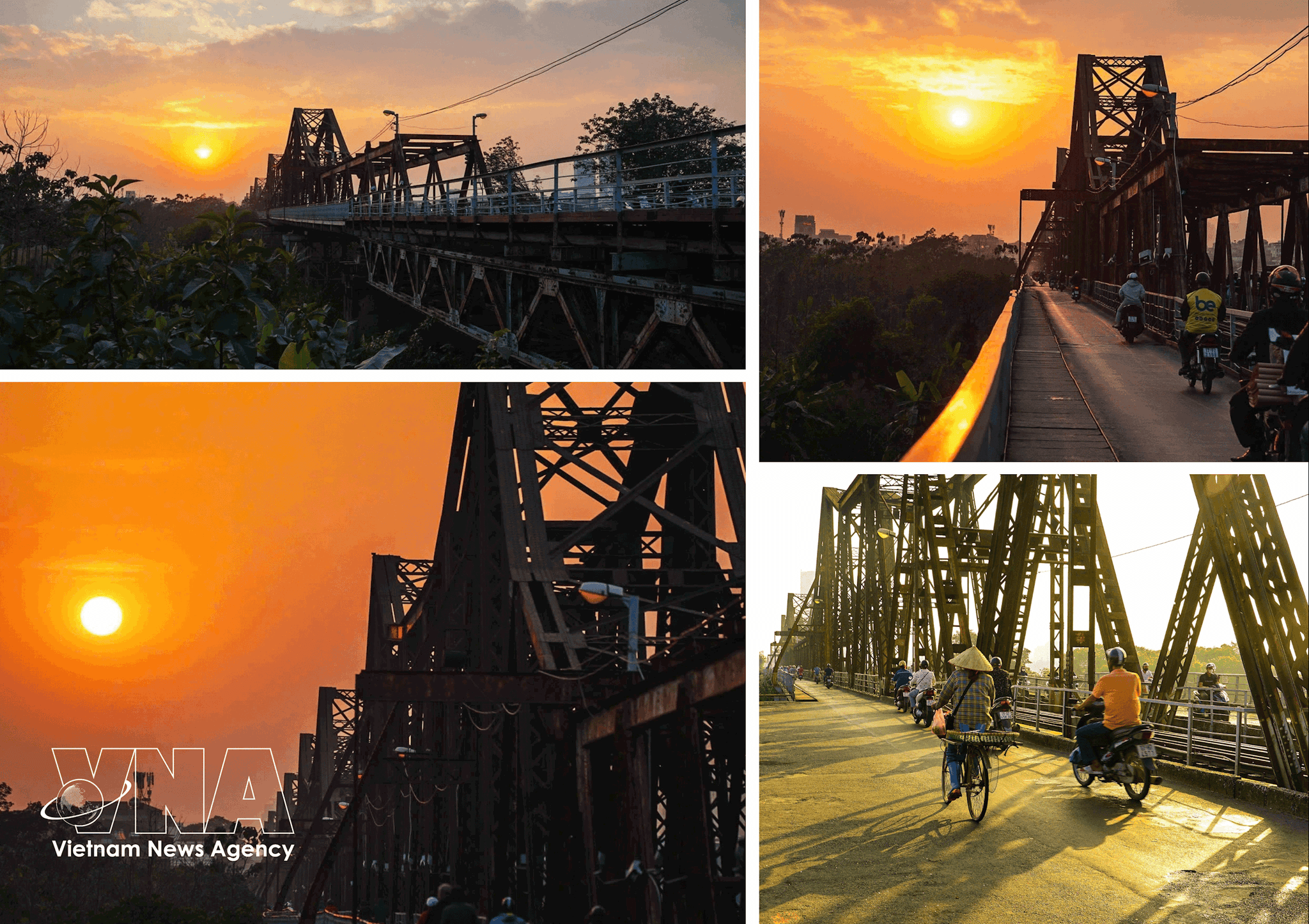
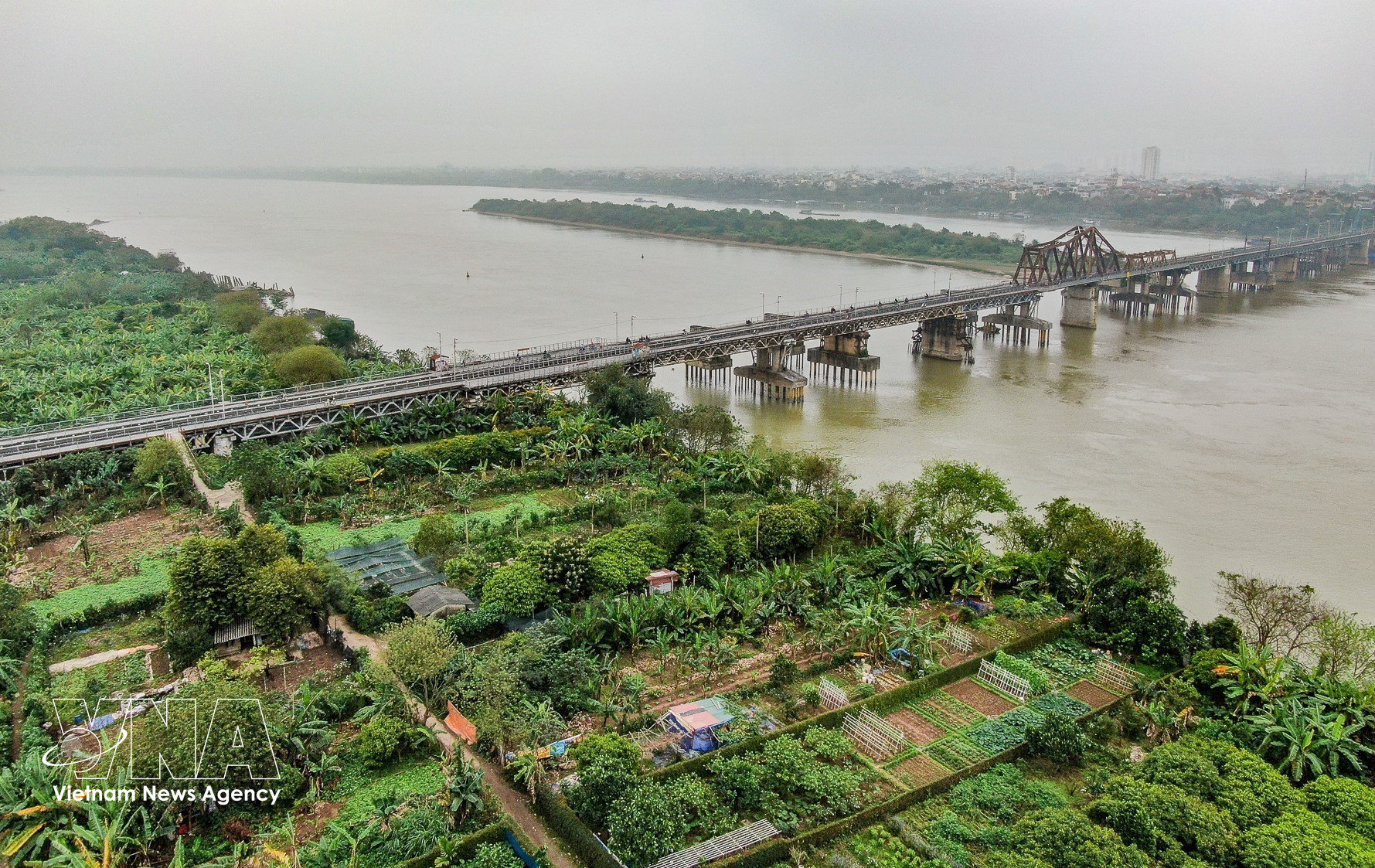
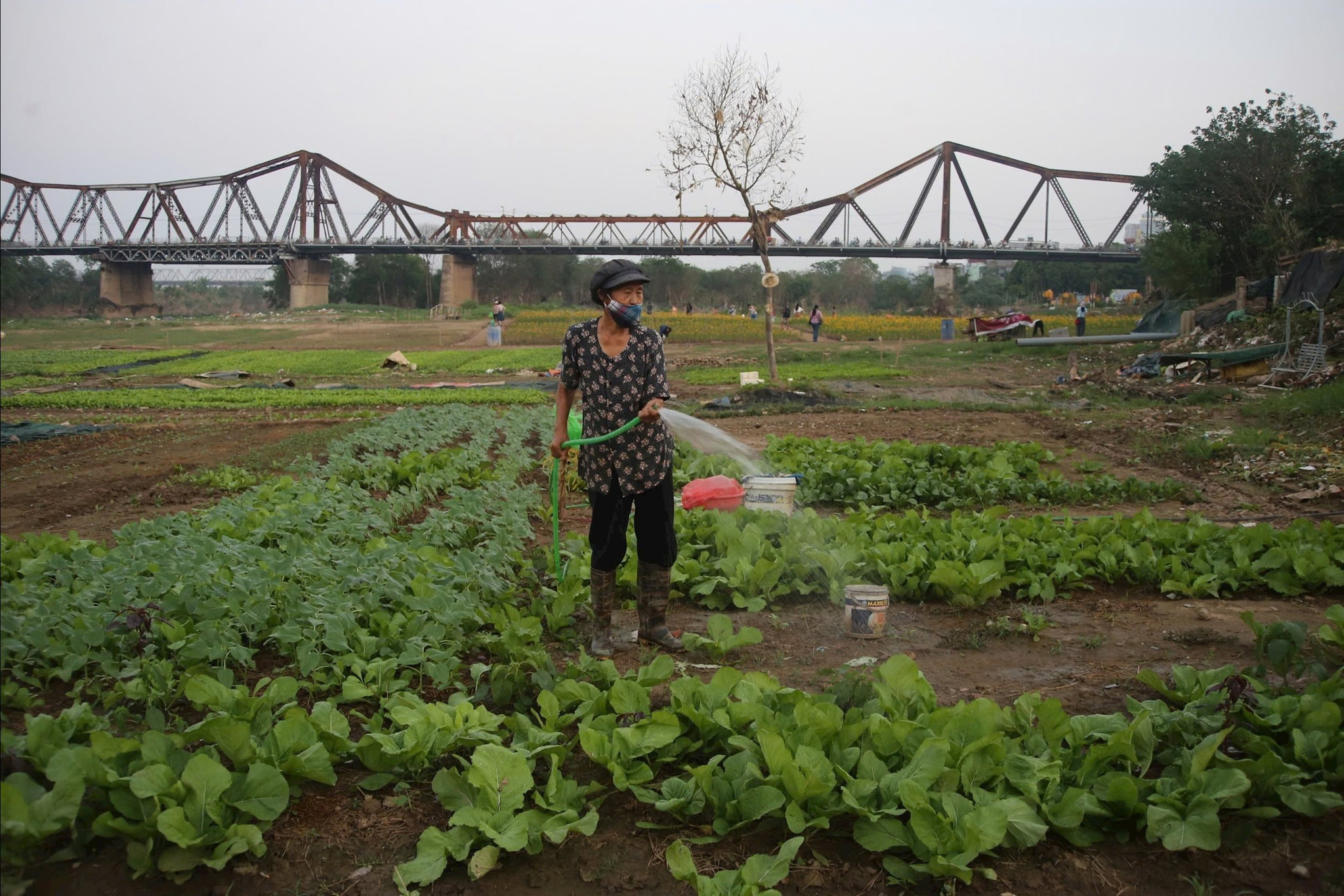
With more than 120 years of history, Long Bien Bridge is a cultural heritage site notable not only for its historic architecture, reflecting cultural exchanges between Vietnam and the West, but also as a “historical witness.” It has become one of the capital’s symbols and a source of pride for Hanoians. (Photo: VNA)
The riverbanks are set to combine flood safety with ecosystem conservation, cultural heritage preservation, urban restructuring and the expansion of public spaces. The approach marks a major shift in urban planning thinking, placing the river at the heart of the development structure of Thang Long-Hanoi.
Making the river the centre of the city
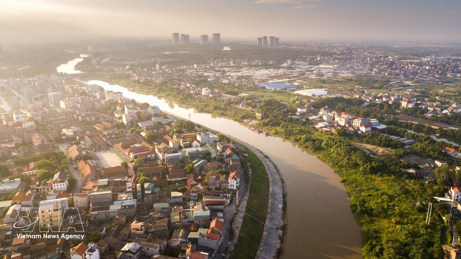
The Red River has shaped the land on which Thang Long was established and sustained Hanoi’s communities for centuries. Along its banks lie ancient villages, craft villages, historical sites, river wharves, alluvial grounds and cultural layers associated with the formation and development of the former imperial capital. However, complex changes in the river’s flow and longstanding flood-control requirements meant that Hanoi for decades developed largely with its back to the river. The dike system protecting the city also created a physical and spatial gap between urban areas and the river.
Consequently, riverside areas have yet to fully realise their potential. Many alluvial zones lack adequate infrastructure and coordinated landscaping, while living conditions remain difficult for some residents. The river’s ecological, cultural and landscape values have not been fully transformed into development resources.
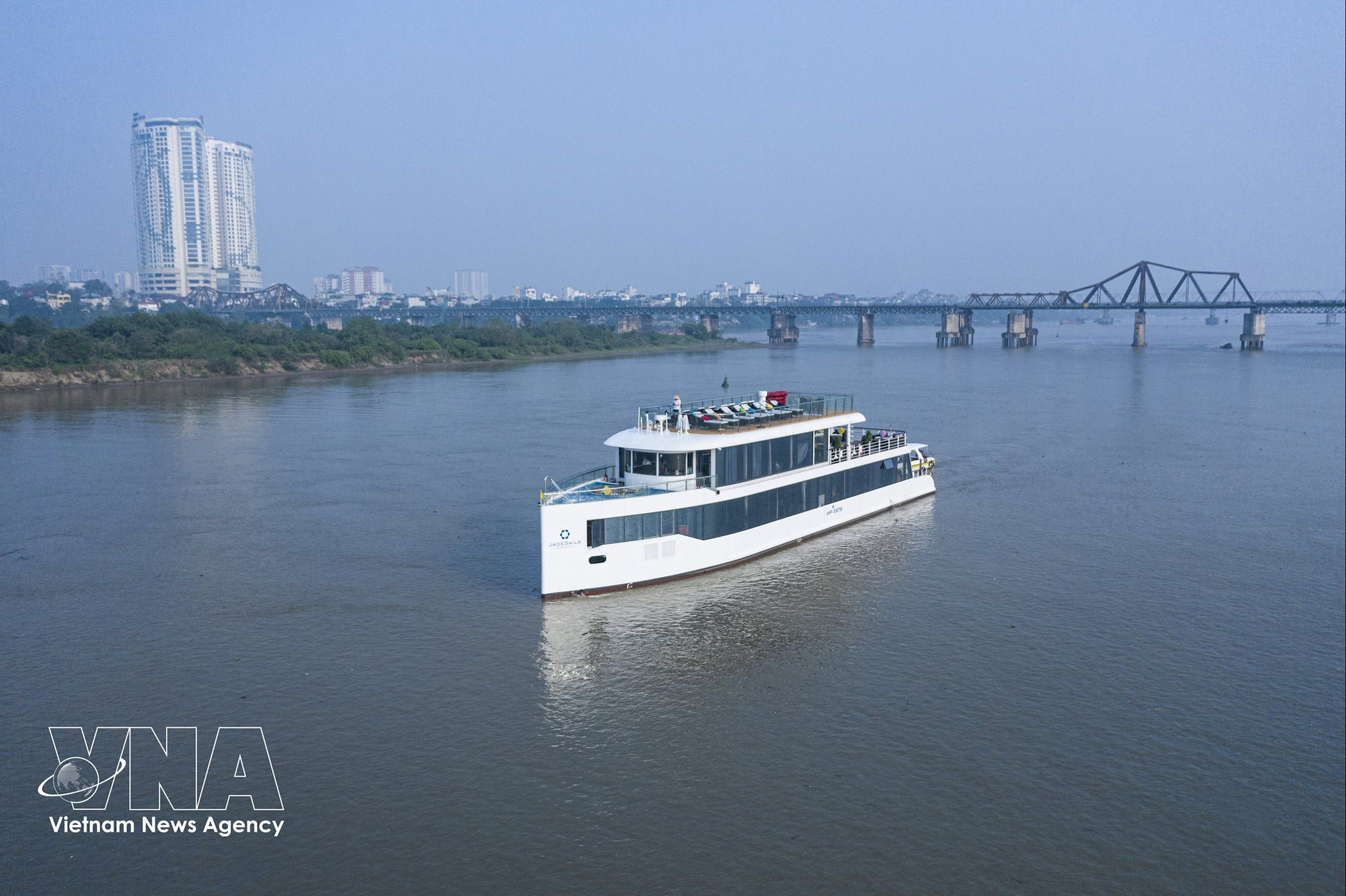
The capital’s master plan with a 100-year vision adopts a new approach by defining the Red River as the city’s key ecological, cultural and landscape axis, connecting Hanoi with the capital region, the Red River Delta and the northern midland and mountainous areas. The areas along both banks, covering about 11,000ha under the orientation, are planned as an important space for landscape, services, finance and culture.
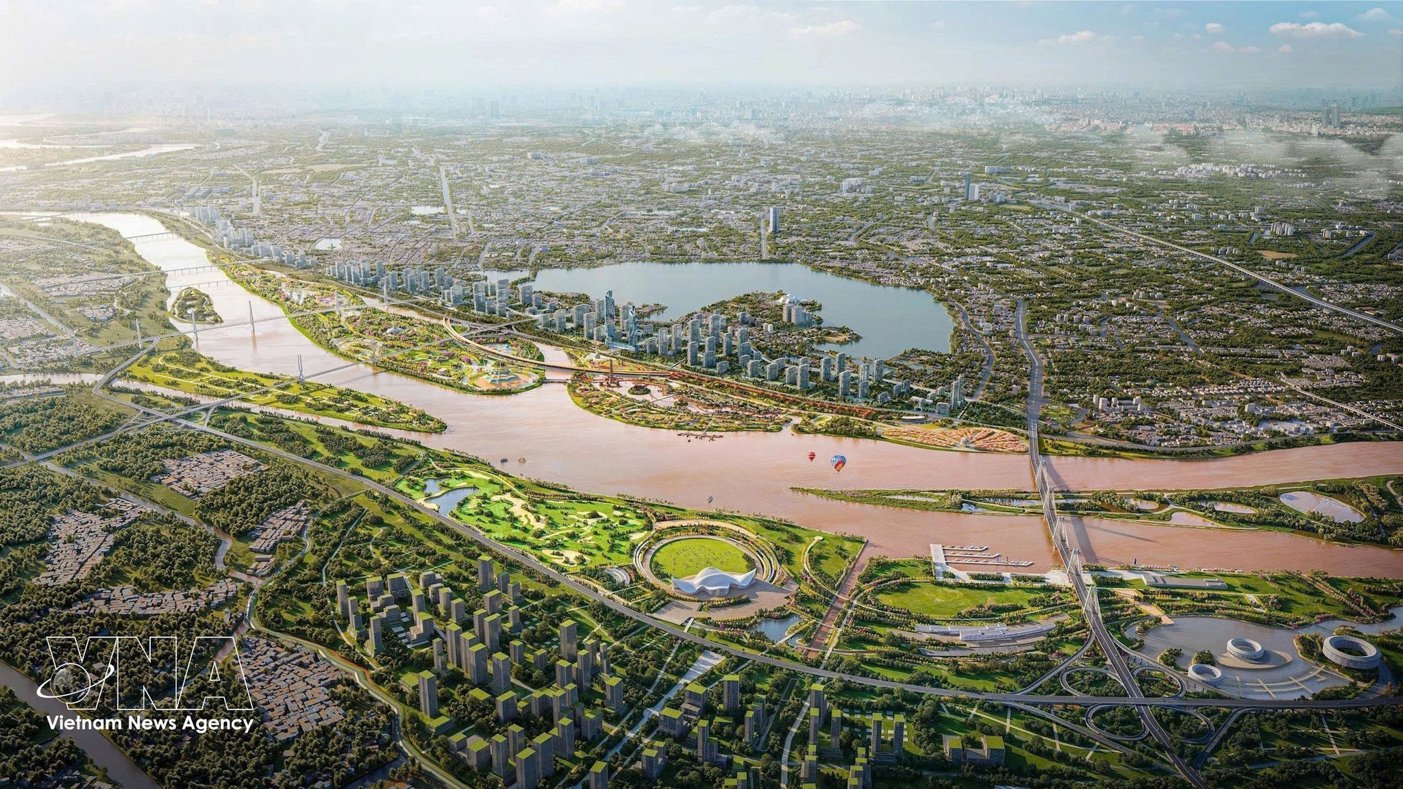
Perspective of the Red River Landscape Boulevard project in Hanoi. (Photo: VNA)
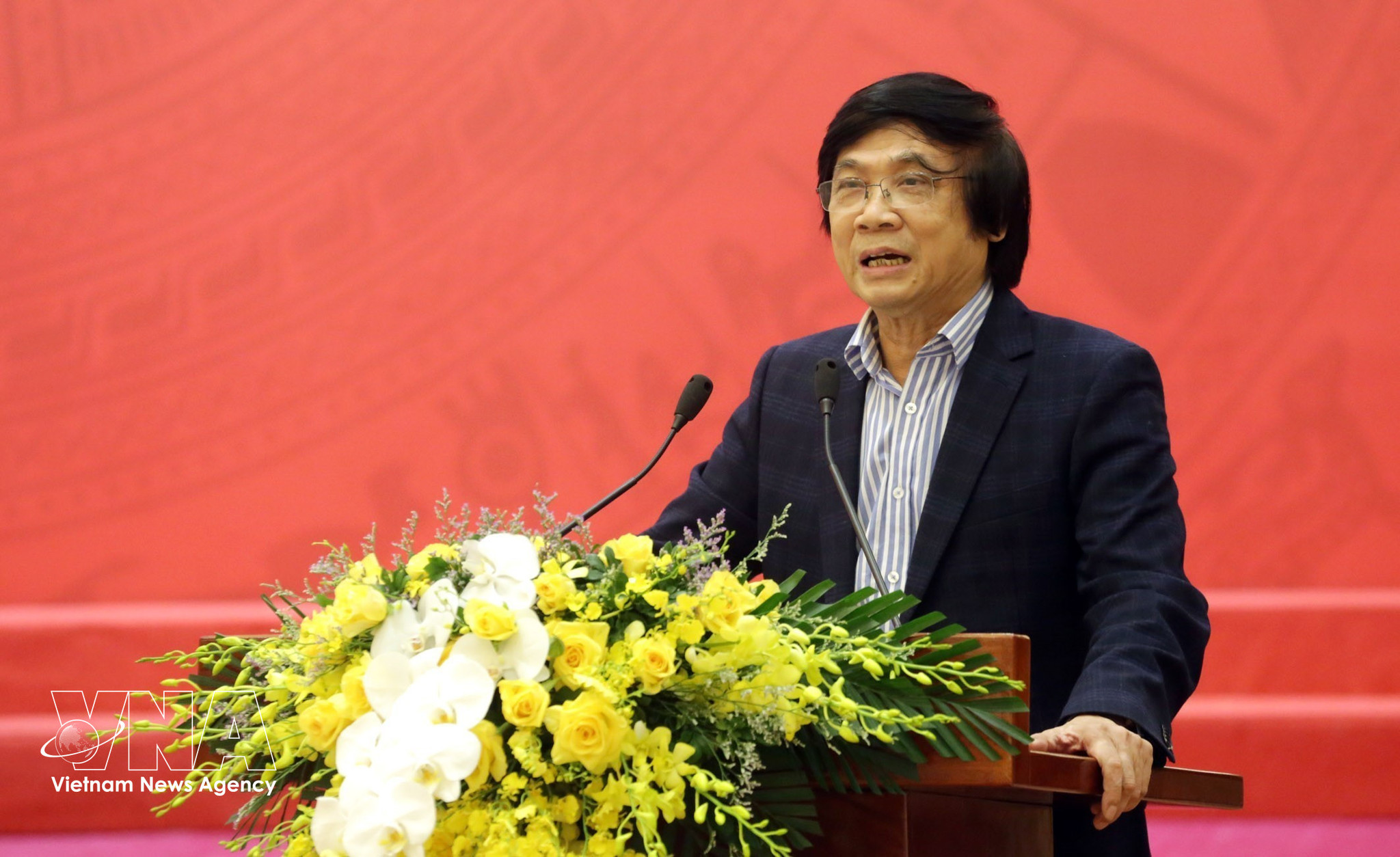
Architect Tran Ngoc Chinh, Chairman of the Vietnam Urban Planning and Development Association and former Deputy Minister of Construction (Photo: VNA)
“
The major difference in the new planning approach is that the Red River has been elevated to the status of a strategic axis. It will connect architectural, economic and urban spaces on both banks while creating conditions for parks, green spaces, water surfaces and recreational areas.
Architect Tran Ngoc Chinh, Chairman of the Vietnam Urban Planning and Development Association and former Deputy Minister of Construction, said that previous plans had also sought to turn the city towards the Red River but had not brought about significant changes. The new approach views the river within a broader structure that both ensures flood drainage and connects development centres, expands urban space northward and creates a new landscape centre for the capital.
The shift will also reshape the relationship between the historic urban centre, the Red River, Co Loa and northern development areas. As bridges and transport routes are completed, the two riverbanks could become an integrated urban whole rather than separate spaces. The river could move from being the “back” of the city to becoming a landscape frontage for cultural, service, tourism and community activities.
“
This is an opportunity to shape a new architectural identity for Hanoi in the 21st century. The value of the project should not be measured simply by the construction of a major traffic artery, but by its potential to create a large-scale landscape axis featuring riverside ecosystems, parks, gardens, squares and landmark architecture.
Architect Pham Thanh Tung, Chief of the Office of the Vietnam Association of Architects
Tung suggested the Red River axis should be viewed in three layers: the riverbed and water flow, which must be strictly protected; mid-river islets and riverside alluvial areas, which absorb water and sustain natural ecosystems; and urban areas inside the dike, where construction and services can be developed under strict controls on density, height, architecture and landscape.
According to the Hanoi Party Committee’s Standing Board, the Red River Landscape Boulevard project is particularly important and strategic to the capital’s development. The project is expected to help restructure riverside space and create new momentum for urban development, services, culture, tourism, finance, innovation and quality-of-life improvements.
Preserving flood drainage corridors and cultural heritage
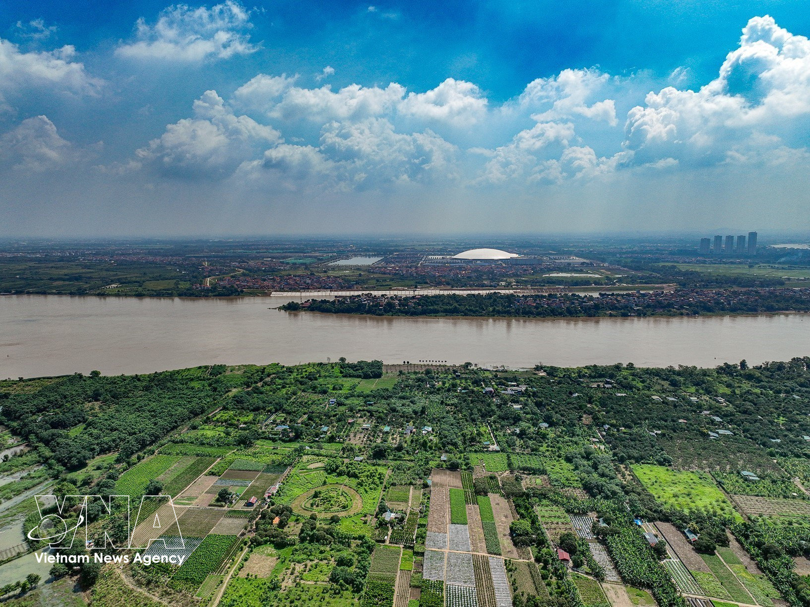
The Red River’s greatest value lies first in its natural landscape and ecological regulation capacity. As Hanoi faces growing pressure from urbanisation, limited green space, environmental pollution and increasingly unpredictable weather patterns, riverside alluvial areas, wetlands and green corridors can serve as important buffers.
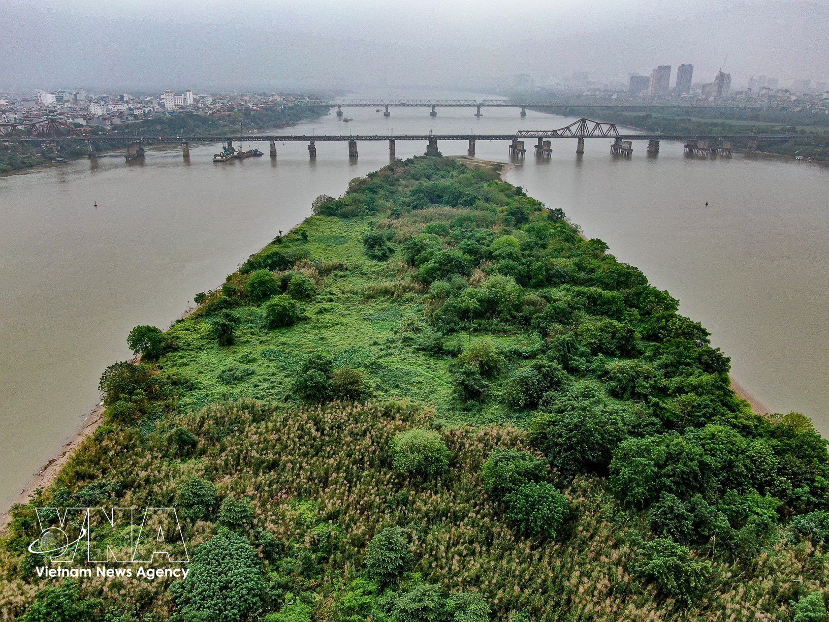
The Red River floodplain plays an important role in Hanoi’s flood drainage corridor. (Photo: VNA)
Therefore, development along the Red River must begin with flood safety. The municipal Party Committee’s Standing Board called for a comprehensive review of planning for the entire river space and its inter-regional impacts, including hydrology, geology, ground elevations, flood drainage, river dredging and water-level regulation.
All spatial planning options must ensure absolute flood safety and dike stability, without reducing approved flood drainage corridors or spaces. Infrastructure, parks, green areas, ports, waterway transport facilities and other functional areas must be designed on the basis of scientific and practical assessments, climate-change adaptation and long-term safety and sustainability.
Experts stressed that riverside development should not mean maximising land for construction. Instead, planning should follow a nature-based approach that respects the river’s terrain, geomorphology and natural patterns of sedimentation and erosion. The “river-alluvial land-urban area” structure should be maintained, with the river ensuring water flow, alluvial areas serving ecological and water-absorption functions, and urban development kept within appropriate limits.
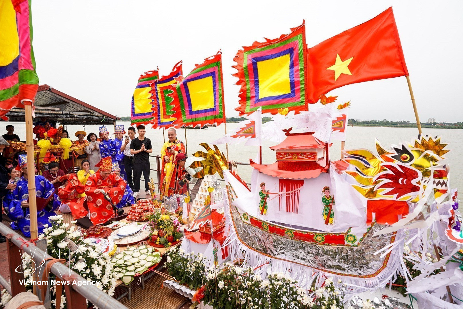
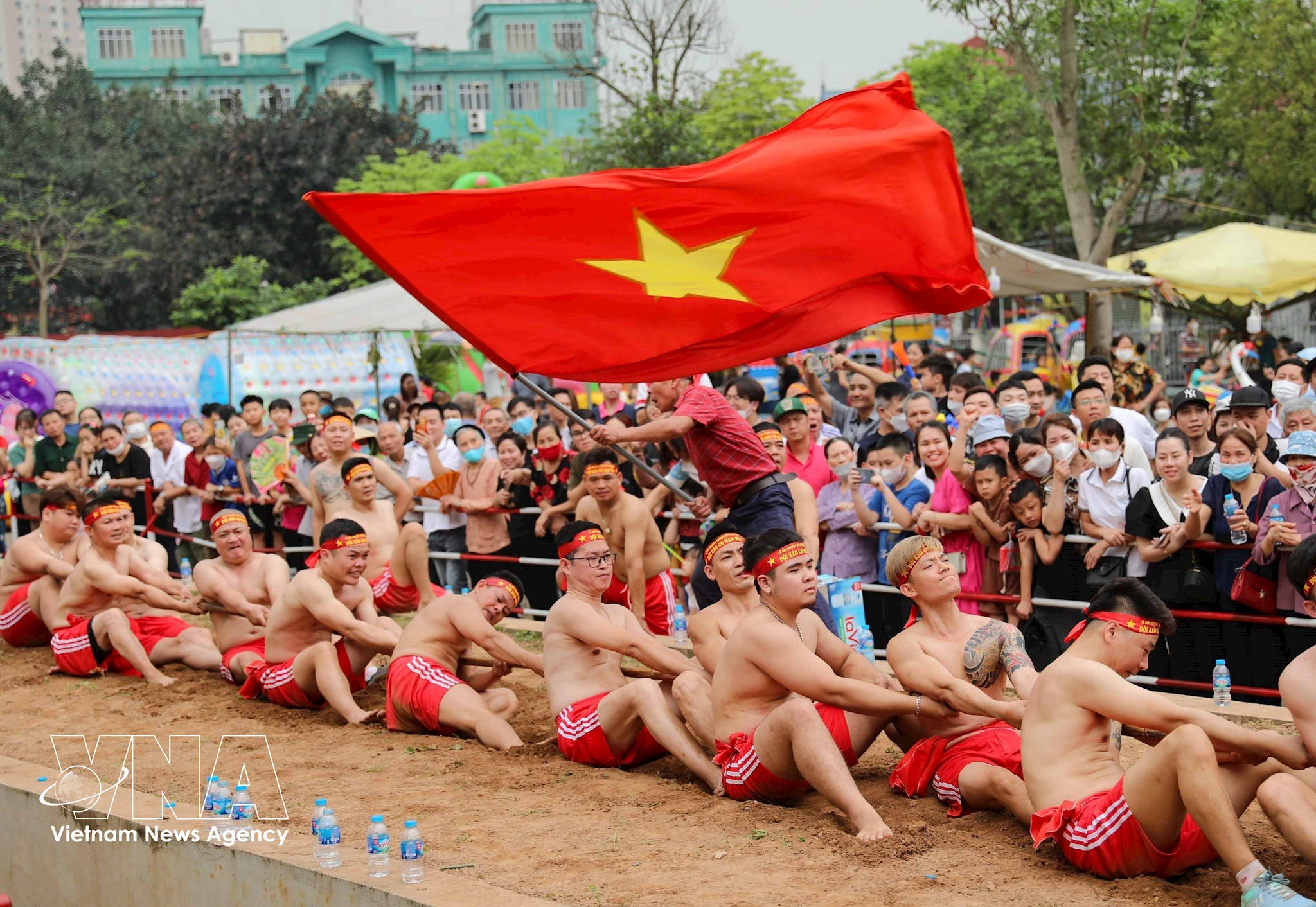
The Red River is also a “living museum” of Thang Long-Hanoi. Its banks are home to craft villages, historical sites, festivals, religious institutions, and community traditions developed over generations. Bat Trang and other riverside areas, traditional river wharves, and agricultural landscapes have created distinctive cultural identities that new urban developments cannot replace.
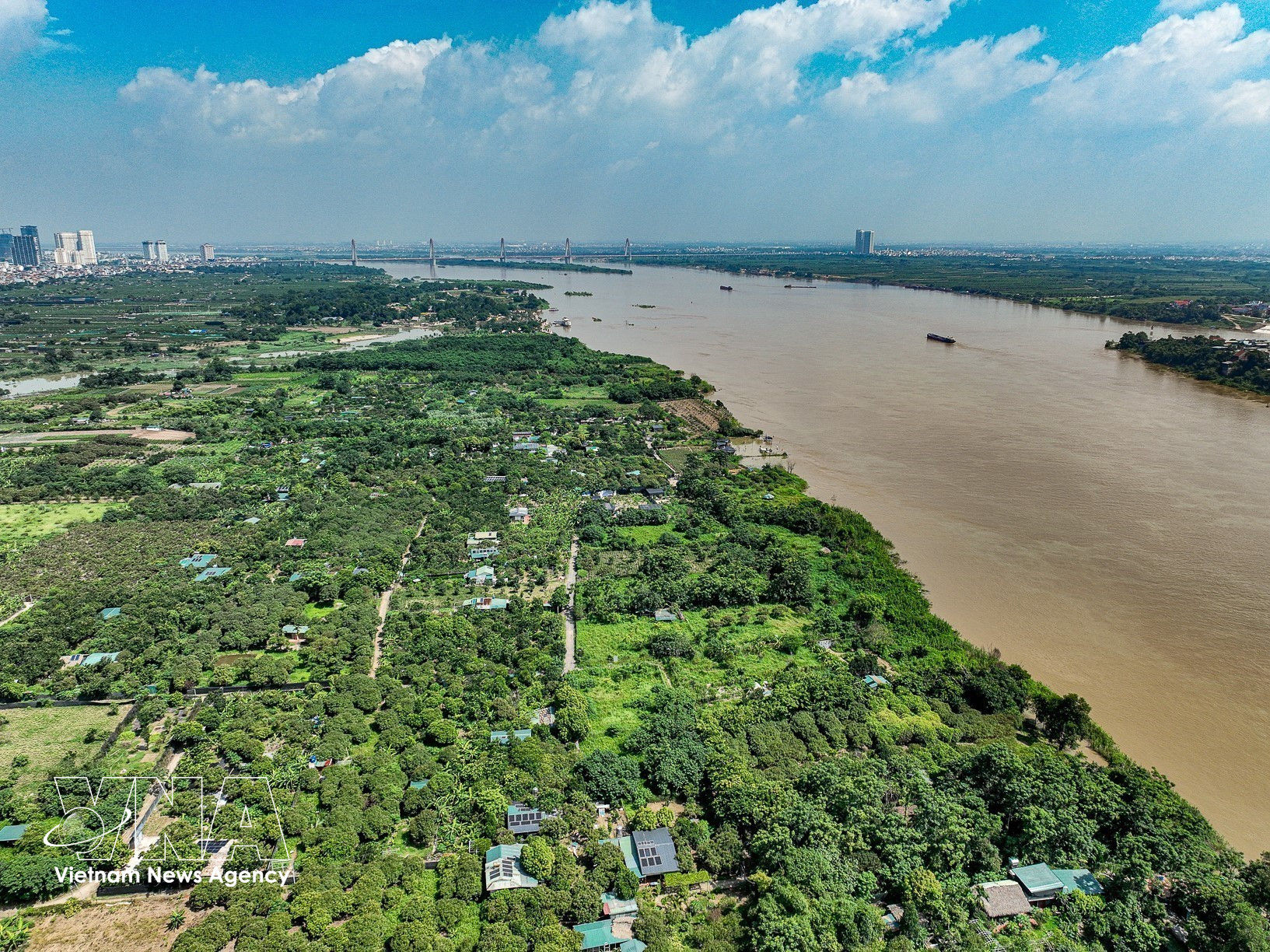
Along the Red River lies a space that preserves the rich cultural and historical heritage as well as livelihoods of Thang Long-Hanoi residents. (Photo: VNA)
Therefore, the restructuring of riverside space must go hand in hand with identifying and protecting different layers of heritage. Planning should preserve village structures, river viewpoints, festival spaces, traditional crafts and community memories rather than creating a uniform urban strip. These heritage assets could be linked through river tourism routes, cultural experiences and creative spaces, turning cultural values into development resources while preserving their authenticity.
Architect Tung said the new face of the Red River should emerge from the river’s own ecosystem and history. New architecture should provide landmarks without overwhelming the landscape, obscuring heritage or severing communities’ links with the water. Different areas should have tailored solutions rather than a single architectural model being applied along the entire river.
If flood safety, cultural preservation, transparent planning and livelihoods are effectively safeguarded, the Red River could become one of Hanoi’s largest public spaces, linking its two banks and major development centres. The river that once helped shape Thang Long would continue to play a formative role, becoming the capital’s key ecological and cultural landscape axis and a new symbol of Hanoi’s development in the new era./.
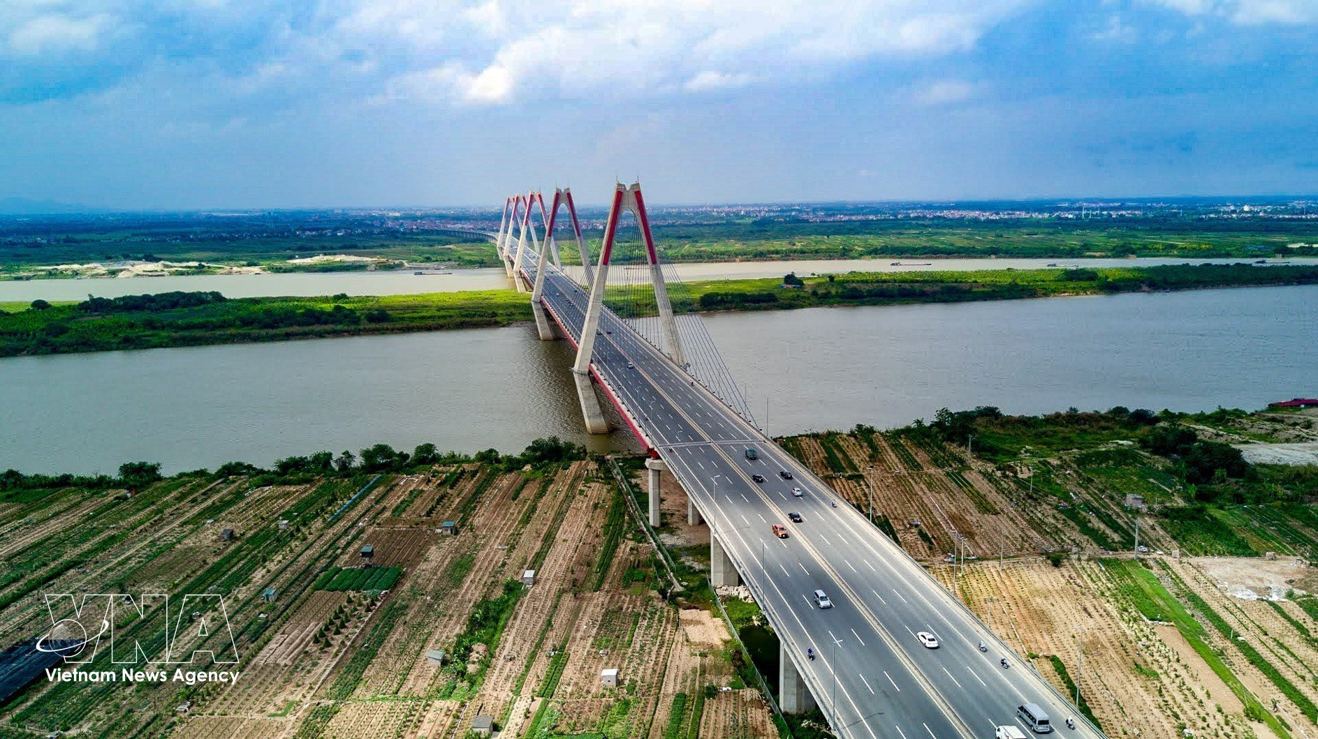
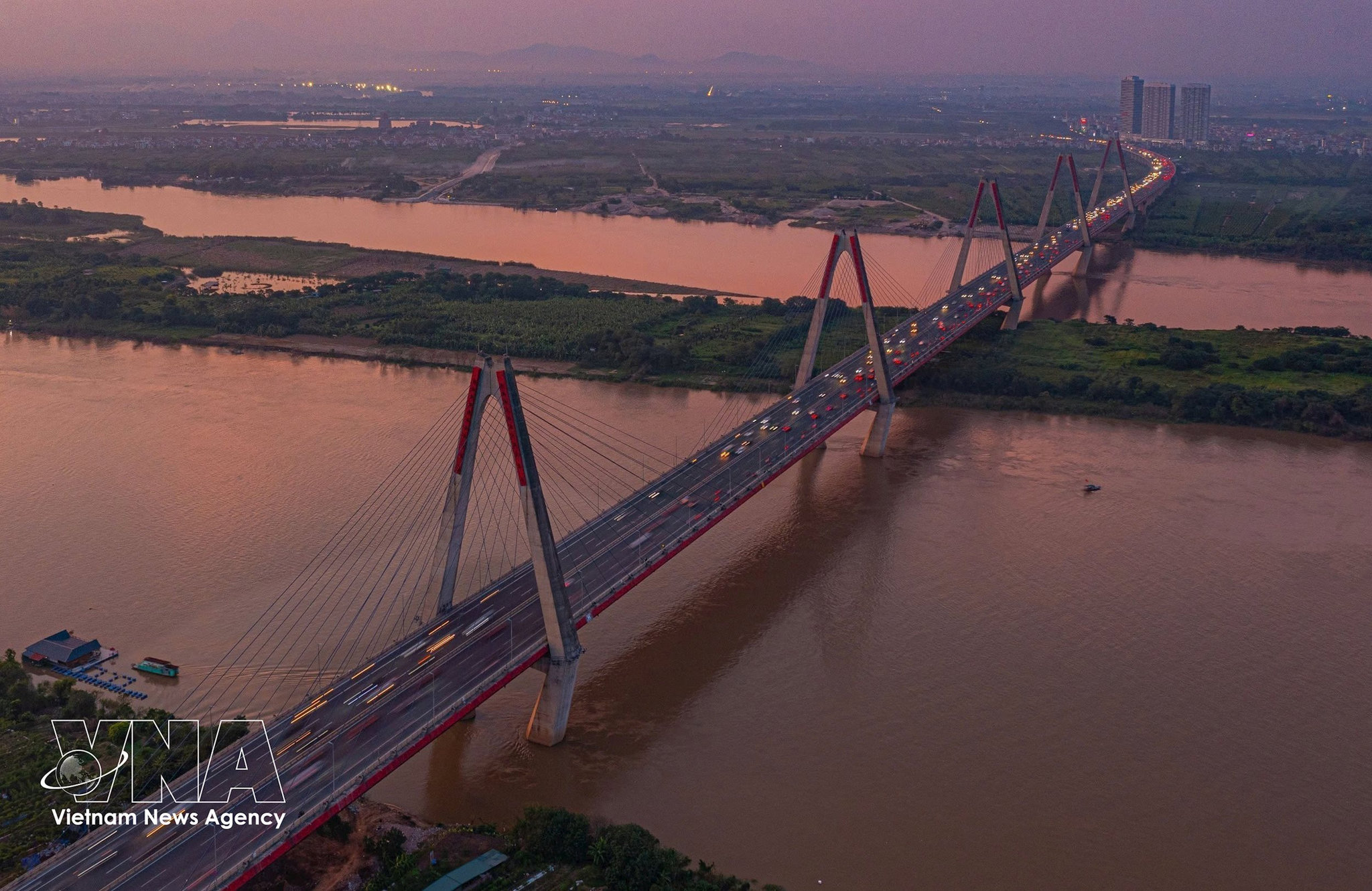
Construction of Nhat Tan Bridge begins in 2009 and is completed in 2015. Spanning the Red River, it is the longest bridge in Hanoi. (Photo: VNA)